
Chinese Drones Assist Earthquake Recovery Efforts
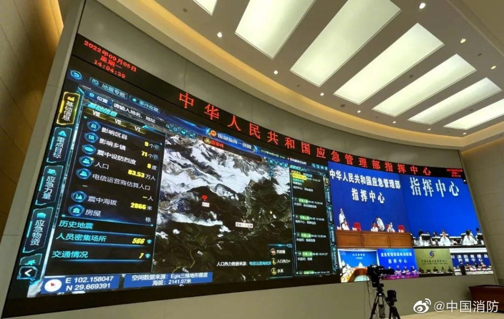
On Monday, a magnitude 6.8 earthquake struck Luding County, about 200 kilometers outside of Chengdu. According to Chinese state media, the earthquake has killed over 60 people. As part of rescue efforts, the Ministry of Emergency Management has deployed over 4,700 people including fire fighters and search and rescue personnel. According to CCTV7 and online flight trackers, the Ministry of Emergency Management also tasked two uncrewed aerial vehicles, a CAIG Wing Loong-2H and a Tengden TB-001A to assess the damage and provide an emergency communications network. Two weeks prior, two UAVs of the same type flew cloud seeding missions in Sichuan Province tasked by the China Meteorological Administration to help mitigate the ongoing drought in the region.
In July of last year, the same Wing Loong-2H flew a similar mission over Henan Province to provide emergency cellular service to people affected by severe flooding in the province, allowing emergency services personnel to reach out to them. Equipped with a pod that served as a mobile cellular service tower, it was able to provide service across a wide area.
The cellular pods, developed by China Mobile, were aboard both the Wing Loong-2H and TB-001A. This allows the two aircraft, flying in different locations, to provide cellular signal coverage over an area of 50 square kilometers and act as a radio relay over an area of 15,000 square kilometers. The configuration of the UAVs also uses optical and synthetic aperture radar sensors to observe the damage and provide aerial imagery for incident analysis.
In May 2021, the same Wing Loong-2H UAV participated in a first-of-its-kind earthquake relief exercise in Ya’an, Sichuan Province, over 50 kilometers from the site of yesterday’s earthquake. This exercise, dubbed “Emergency Mission 2021”, simulated a 7.5 magnitude earthquake to test the emergency management capabilities and earthquake relief strategies of the different participating organizations.